Sipoonkorpi National Park Trails


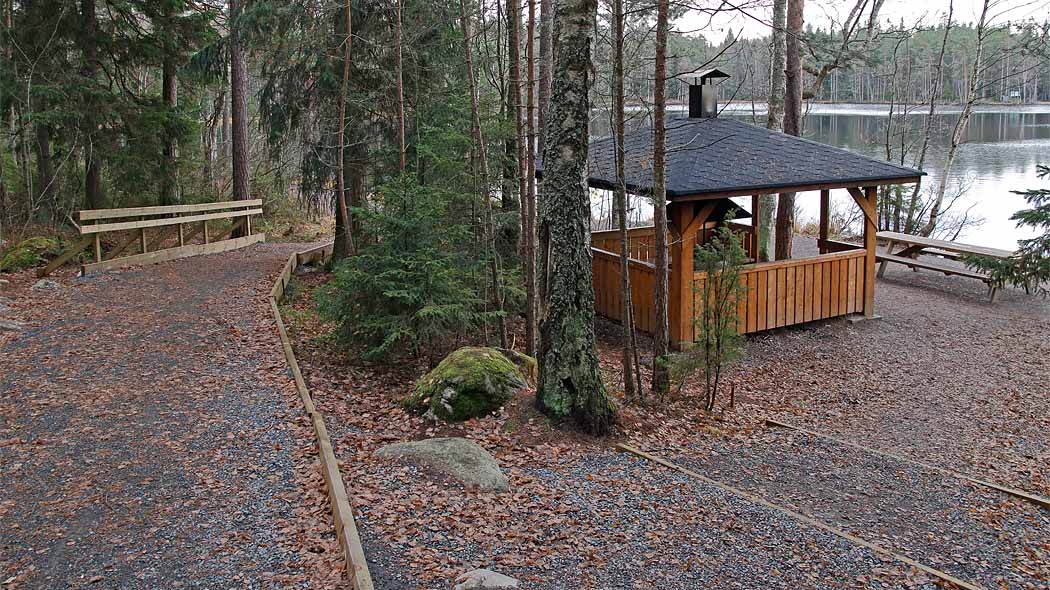
Tasakallio - Storträsk Demanding Accessible Trail, 1 km from the car park to the lake
The route is demanding, an assistant is recommended when using a wheelchair. See the map (pdf 1.5 MB, julkaisut.metsa.fi).
Demanding accessible trail (youtube.com)

Starting point Flatberget / Tasakallio: Tasakalliontie 1, Vantaa Euref-Fin (~ WGS84) lat: 60.2810076°, lon: 25.1559905°
ETRS-35FIN N: 6684126, E: 398015
Services An accessible campfire site, a dry toilet and a wood shelter at Storträsk.


Sights Beautiful Storträsk lake and forest.

Bakunkärr Trail 2 km
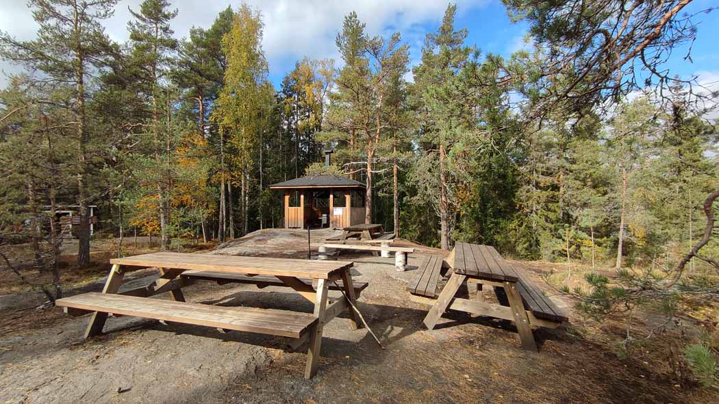
The Bakunkärr trail runs through diverse forest. It is possible to traverse the loop starting from the Bakunkärr parking area either clockwise or counterclockwise. Enjoy your trail lunch on rest areas located on cliffs. The rest areas are equipped with benches.
Category: A fairly easy trail.
Travel time: Estimated time 1 h, no winter maintenance.

Starting Point
Knutersintie 421, Sipoo
Services and Hiking Structures There are benches on the cliffs along the trail and duckboards in wet areas. You can find a short trail to the Bakunkärr rest area from the main trail.
Sights Varying forest landscapes. Explore the beautiful hazel grove in the immediate vicinity of the parking area.

Trail Description The loop is marked with blue markings. A large part of the Bakunkärr Trail is partly rocky forest trail with visible roots. The trail near the parking area is gravel trail. The Bakunkärr cooking shelter and dry toilet are located approximately 200 metres from the southwestern tip of the trail.

Knuters Trail 3.8 km
The Knuters trail includes representative spruce forests, barren pine forests and rock walls. The Bakunkärr campfire site located on a cliff provides the opportunity to eat your packed lunch in a cooking shelter in the middle of the forest.
Category: A fairly easy trail.
Travel time: Estimated time 2 h, no winter maintenance.

Starting Point Knutersintie 667, Helsinki
Services and Hiking Structures The Bakunkärr cooking shelter located on the cliff near the northern tip of the trail. There is a campfire site, firewood shed and dry toilet in connection with the cooking shelter. It is allowed to camp around the rest area. There are benches on the cliffs along the trail and duckboards in wet areas.

Sights Varying forest landscapes, mainly spruce forests and rocky pine forests.
Trail Description The loop is marked with orange markings. A large part of the Knuters Trail is partly rocky forest trail with visible roots. Part of the trail is gravel near the cooking shelter, among other places. You can find a connecting trail to Kalkinpolttajanpolku trail north of the cooking shelter.

Fiskträsk Trail 4.7 km; just the circular trail 2.8 km
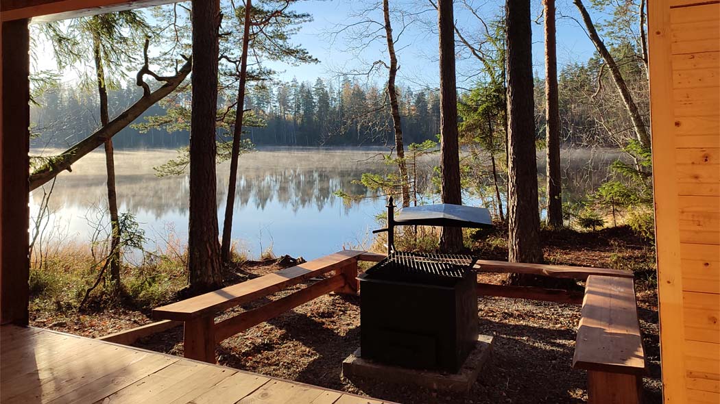
At the edge of the Fiskträsk Trail, you can admire the lake view from the cooking shelter or lean-to shelter. There is also a diverse forest and mire along the trail with varying landscapes. You can start the trail either from Korvenportti or Bakunkärr.
Category: A fairly easy trail.
Travel time: Estimated time 2 h, no winter maintenance.

Starting Point Knutersintie 256, Sipoo (Korvenportti) tai
Knutersintie 421, Sipoo (Bakunkärr)
Services and Hiking Structures The cooking shelter, lean-to shelter, firewood shed and dry toilet at the Fiskträsk rest area which is located slightly east of the trail on the shore of Fiskträsk Lake. There is also a campfire site in connection with the lean-to shelter. There is a camping area next to the cooking shelter. There are duckboards on the wet sections of the Fiskträsk Trail. There are no campsites outside Fiskträsk.

Sights Diverse forest landscape, mire and wilderness lake Fiskträsk.
Trail Description The loop trail and connecting trails from the Bakunkärr and Korvenportti parking areas are marked with orange markings. The Fiskträsk Trail includes sections of forest trail, wide gravel path, duckboards and trail bridges. You can start the trail either from Korvenportti or Bakunkärr. The length of the entire trail (connecting trail, loop trail and offshoot to the shore of Fiskträsk Lake) is 4.7 km.

Byabäcken Nature Trail 1.6 km; circle trail 2.3 km
Byabäcken leads goes through lush forests and ends at some pastures at the side of Länsitie road. From there it is about 700 m along the road to the parking area (please do not cut through the fields across crops). The trail is marked with orange markings on tree trunks.
Starting point Länsitie 237, Sipoo

Services Ängesböle's fireplace, lean-to-shelter, dry-toilet, firewood shed and campsite. Bergström's huts reservable fireplace. Drinking water: well by Bergström's hut.

Sights During summer there are cows in the area's pastures. They help in maintaining the heritage landscape.


Kalkinpolttaja Trail 4.8 km

Kalkinpolttaja Trail circles in the field and forest landscape in the traditional limestone mining and agricultural area within the vicinity of the village of Sotunki, Vantaa. The limestone mine is located on the land that used to belong to Håkansböle Manor. In addition to the traditional agricultural livelihoods, limestone-quarrying and lime-burning were practised in the area. The archaeologists have not found any signs of the lime works area in the vicinity of the nature trail, but they have found limestone quarries and lime kilns.
Starting point Flatberget / Tasakallio: Tasakalliontie 1, Vantaa
Services Kalkkiruukki lean-to shelter, sleeping shelter, firewood shed, dry-toilet and campfire site.
Sights The trail runs in the shelter of the forest, takes you to the limestone mine and ascends onto the rocks. From the highest rock, called Högberget, views open out across the forests, all the way to the cranes at Vuosaari Harbour.

Trails in the Area Surrounding Sipoonkorpi
There are marked jogging and recreation trails in the surrounding area. For example:
- At Lake Kuusijärvi in Vantaa to the west of Sipoonkorpi
- At Keinukallio in Kerava to the northwest of Sipoonkorpi


