Hetta - Pallas Hiking Trail Route Description

Starting Points for Excursions
The trail can be travelled from south to north or from north to south.
- The main starting and end points for the Hetta - Pallas Hiking Trail are Hetta Village and Pallastunturi Visitor Centre.
- On the south side of Hetta Village hikers must cross Lake Ounasjärvi by boat. Call for services:
- Cape Lapland (hettahuskies.com)
- car transportation
- Koru Laakso (korulaakso.com)
- car and boat transportation
- Lomakylä Hetan Kota (hetankota.fi)
- car and boat transportation
- Lomakylä Paavontalo (tosilappi.fi)
- car and boat transportation
- Näkkälä Eräpalvelut (nakkala.com)
- car transportation
- Cape Lapland (hettahuskies.com)
- On the south side of Hetta Village hikers must cross Lake Ounasjärvi by boat. Call for services:
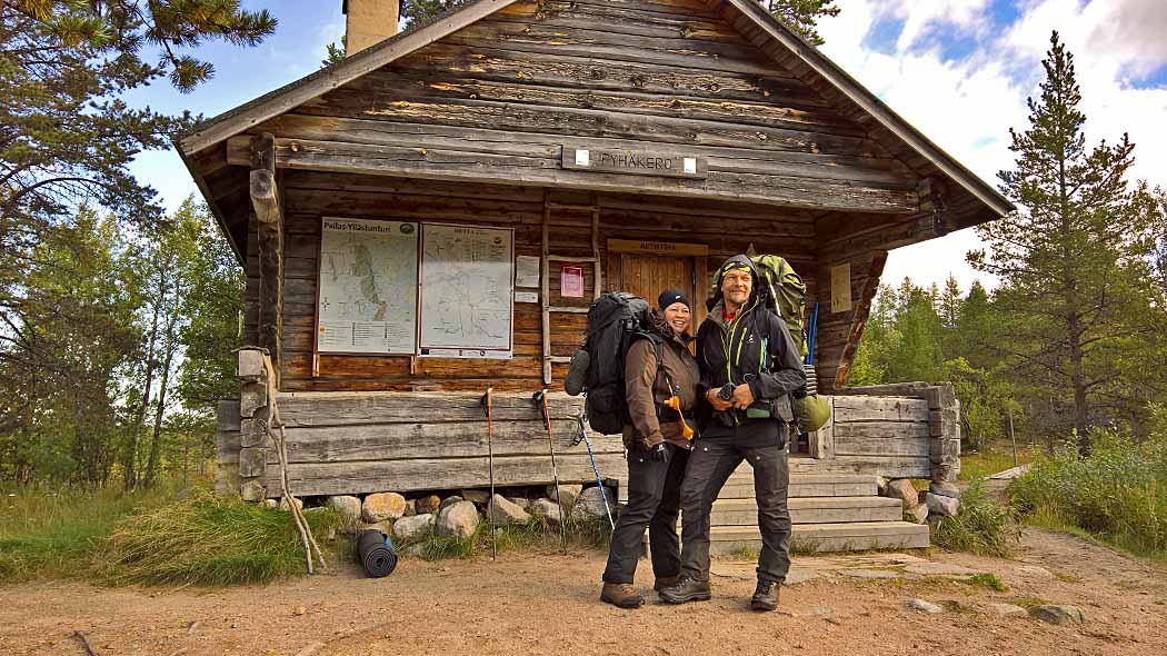
- From Hetta it is possible to reach Hetta-Pallas trail by going along the Mustavaara private road. This road starts from Ounastie, about 3 km from Fell Lapland Visitor Centre to east. The road is 7 km long and from the end of the road there goes a 1,5 km path to Pyhäkero open wilderness hut. If you are going to drive along the road by car, you need a key to the gate located in the beginning of the road. You can get the key from Fell Lapland Visitor Centre or from Hetan Kota. The key costs from 15 €/ car/day.
- Additionally there is a connecting trail from Ketomella and Vuontispirtti, which leads to the Hetta - Pallas Trail.
- The connecting trail starts off at the old ferry-stop at Ketomella and joins with the Hetta - Pallas Trail about 1 km west of Tappuri open wilderness hut. The distance from Ketomella to the Hetta - Pallas Trail is approximately 9 km.
- The trail from Vuontispirtti connects to the Hetta - Pallas Trail at Montelli open wilderness hut and is approximately 5 km long. This connecting trail starts from a private road to the boundary of the National Park, and continues from there up into the fells marked with white cross signs. Near the timber line the markings of the trail change to short poles with orange tops.
Trail Sections
The Hetta-Pallas Trail is not a circle trail. It can be divided into several sections by rest spots.
- Hetta Village – Pyhäkero 6.7 km
- Pyhäkero – Sioskuru 8 km
- Sioskuru – Pahakuru 12.1 km
- Pahakuru – Hannukuru 1.5 km
- Hannukuru - Montelli 12.5 km
- Montelli – Nammalakuru 1.2 km
- Nammalakuru – Pallas 13 km
- Trail route description
Trail Markings
The trail is marked with wooden arrow signs.
Connecting Trails
Hiking Trails
- From the Pallastunturi visitors can continue their trek to all the way to Ylläs. The Rauhala Village-Ylläs section of this trail is demanding as there are hardly any service structures along the trail. There are marked trails from Pallas to Jerisjärvi and via Torassieppi to Olos. There are also several shorter Hiking trail options within the National Park.
- For more information contact Pallastunturi Visitor Centre or Yllästunturi Visitor Centre Kellokas, located at Äkäslompolo.

