Auttiköngäs Menu
Auttiköngäs Directions and Maps

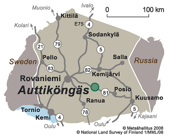
Auttiköngäs is located in the town of Rovaniemi 80 km from the Rovaniemi town centre.
Directions
By Car
- There are signs all the way from road 81 (Rovaniemi - Posio) directing visitors to Auttiköngäs. Sign reads: Auttikönkääntie. It is 1,2 km from road 81 to Auttiköngäs.
- Driving directions to Pilke House Customer Service.
By Public Transportation
- There are airports (finavia.fi) at both Rovaniemi and Kuusamo.
- A coach (matkahuolto.fi) regularly travels between Rovaniemi and Posio. When travelling from Rovaniemi, there is a bus stop just before the crossing to Auttiköngäs (the name of the stop is Pajulampi itäinen th). The Auttiköngäs Falls are about 1,5 km from the bus stop.
Starting Points for Excursions
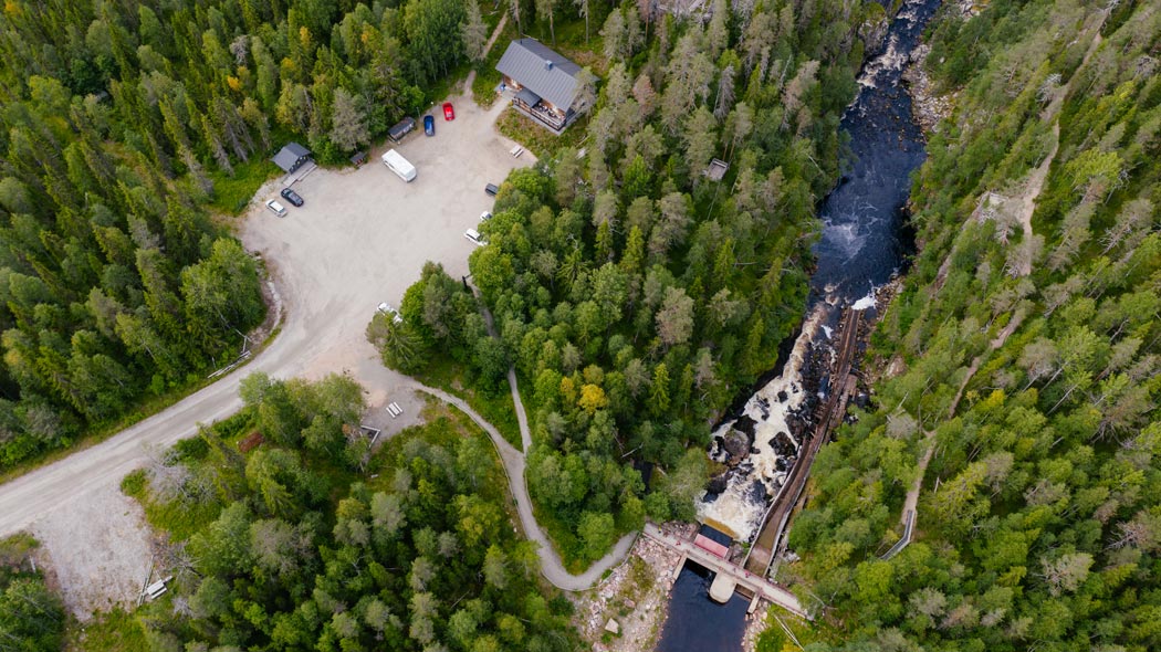
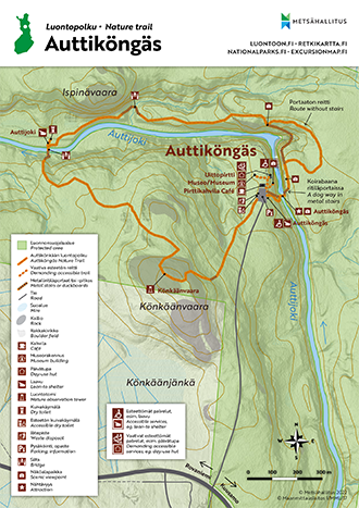
- The starting point for the area's nature trail is at Auttiköngäs parking area.
Maps
Electronic Maps

Other Maps
- Rovaniemi virkistys- ja opaskartta: Rovaniemi recreation map, 1:100 000, Town of Rovaniemi 2012. The map is sold by Pilke House Customer Service and the National Land Survey of Finland.
- Yläkemijoen virkistyskartta: Yläkemijoki recreation map, 1:50 000, National Land Survey of Finland 1999. The map is sold by Pilke House Customer Service and well-stocked bookstores.
- Terrain map T511 Autti, 1:50 000, Karttakeskus 2006. The map is sold by Karttakeskus and the National Land Survey of Finland.
- GT tiekartta Pohjois-Suomi: GT Roadmap Finland North, 2013, 1:400 000. The maps are sold by Karttakeskus and well-stocked bookstores.
Auttiköngäs Brochure
Parking Area
- Auttikönkääntie, Auttiköngäs
More precise parking area addresses are not available. Parking area addresses are in Finnish to be used in navigators.


